Reserve from the case
Shipping Estimate
USA
- USA
- CAN
- USA
- CAN
Ships within 48 hours · Estimated delivery Nov 21 - Nov 26
Reserve from the case
Ships within 48 hours · Estimated delivery Nov 21 - Nov 26
Printed in color with a markable washable
Includes complete street detail at a scale of 1
and Ferdinand Magellan's "Victoria"
The special features and data are as follows: All Streets and Highways
¬koo Harbor
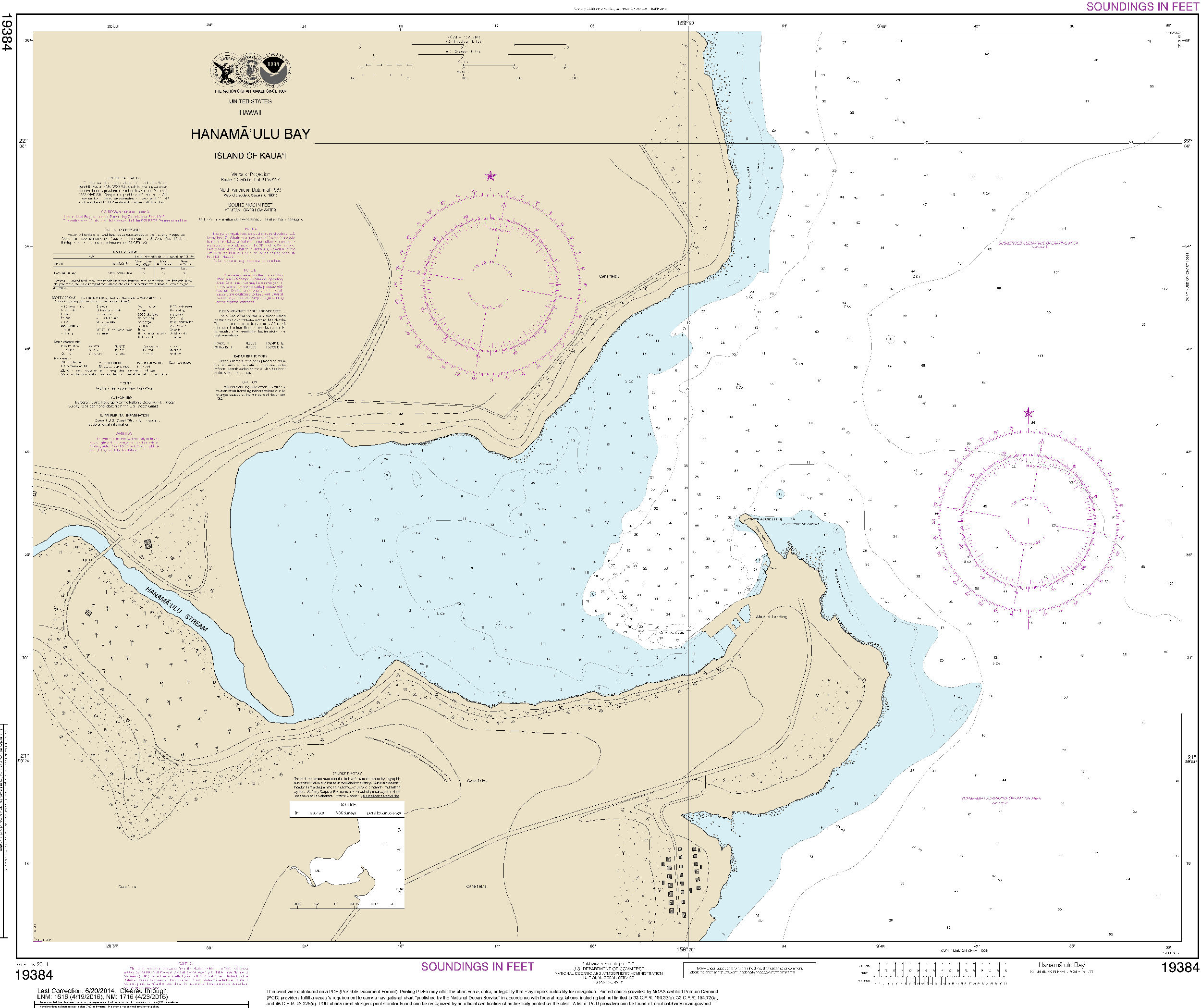
NOAA Nautical Chart 19384: Hanamaulu Bay Island of Kauai Paper Type:Tyvek Printed in color with aPublication Date: 2014 Edition: 9 Scale: 1: 2,500 (1 inch=0. 04 miles) Map Size: 28. 49 x 33. 95 inches The chart you are viewing is NOT updated weekly and does NOT include all of the latest Notice to Mariners corrections. GeoMart is a authorized agent of NOAA and NGA print on demand nautical charts. Our charts are updated and printed after you place your order. This provides you with the most up to date NOAA approved nautical chart available. The


US$ 40.00


US$ 1799.50


US$ 2149.50

US$ 4999.50


Pay in 4 interest-free payments of $6.74 Learn more