Reserve from the case
Shipping Estimate
USA
- USA
- CAN
- USA
- CAN
Ships within 48 hours · Estimated delivery Sep 22 - Sep 27
Reserve from the case
Ships within 48 hours · Estimated delivery Sep 22 - Sep 27
Port Inland
in McHenry County
making it a sophisticated addition to any space
at Exit 55 on the Richmond-Petersburg Turnpike
- TOWNSHIP BOUNDARIES (color-coded)
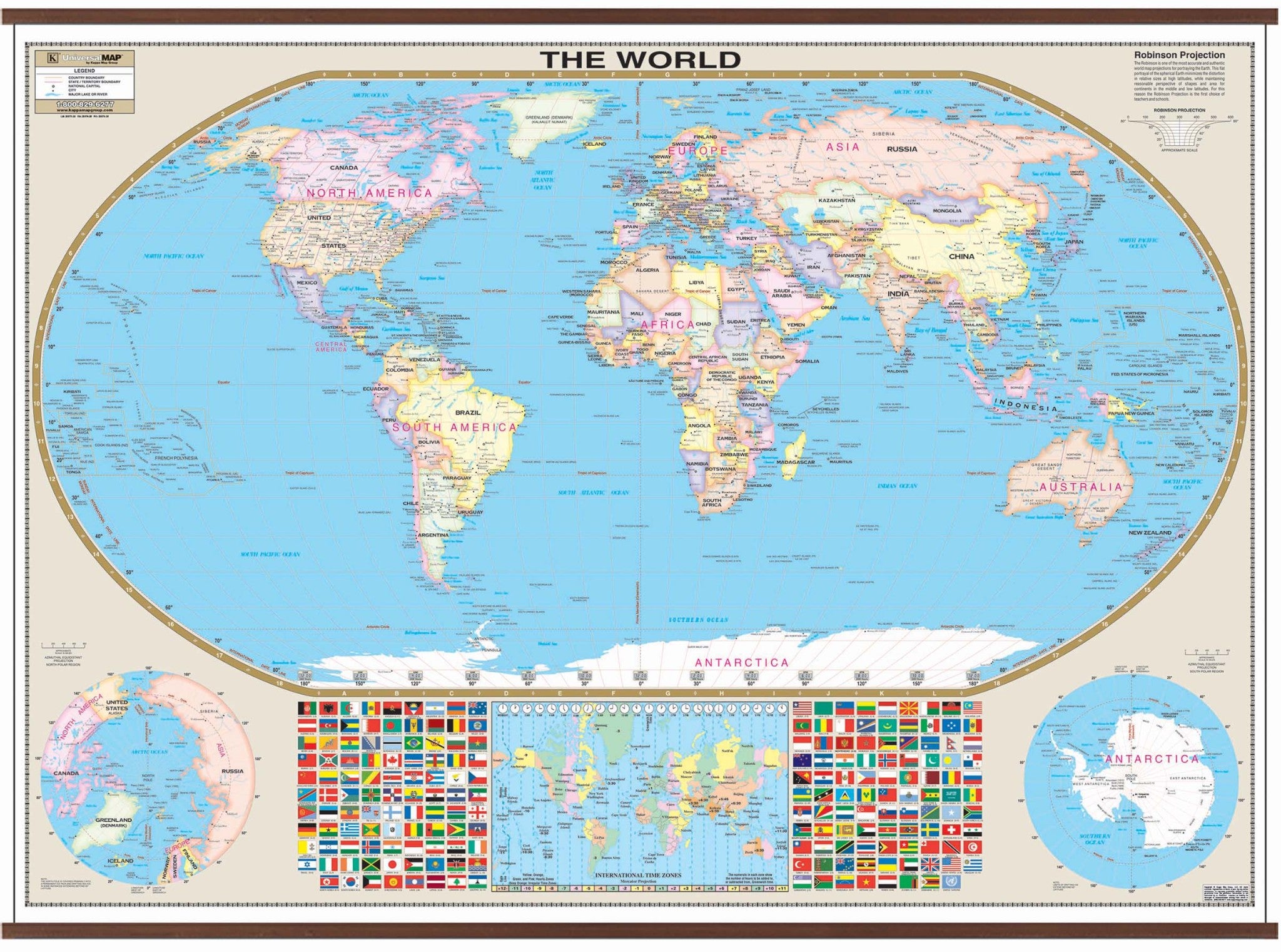
World Large Scale Wall Map Options:Laminated On Pull Down Roller Port InlandThe Robinson Projection Wall Map of the World by Kappa Map Group is laminated, measures 74 by 53 inches, provides color coded countries, major and capital cities, major water features, national flags, country names, state boundaries, longitude latitude lines, and international time zones. The map is protected with a laminated finish, which is both markable and washable. Map is available with the following options: Laminated: Laminated for protection


Pay in 4 interest-free payments of $28.74 Learn more